
This year (2020), the data team of Urban Development Strategic Division (UDSD), Office of the National Economic and Social Development Board of Thailand (NESDC), and I has prepared Tessaban shapefile for more advanced spatial analyses.
Team list: Phannisa Nirattiwongsakorn, Nichasil Tantivejkul, and Kampanat Klaisuban
Rationales
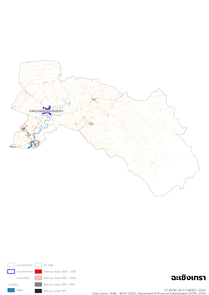
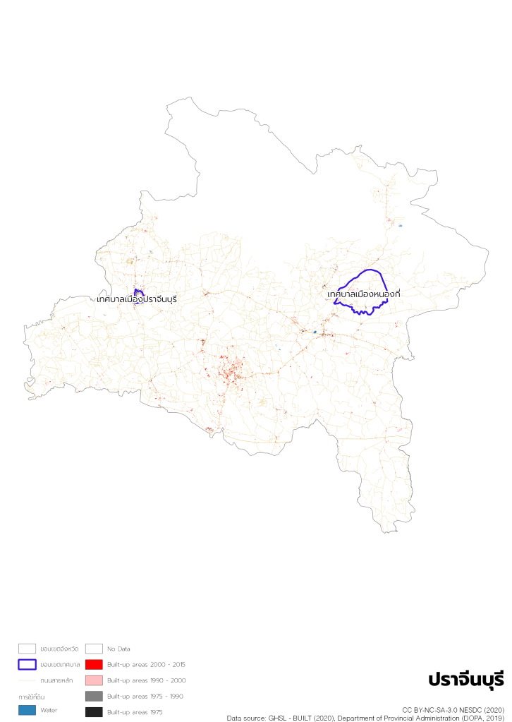
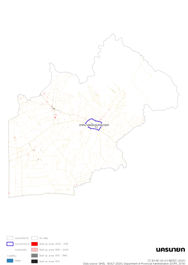
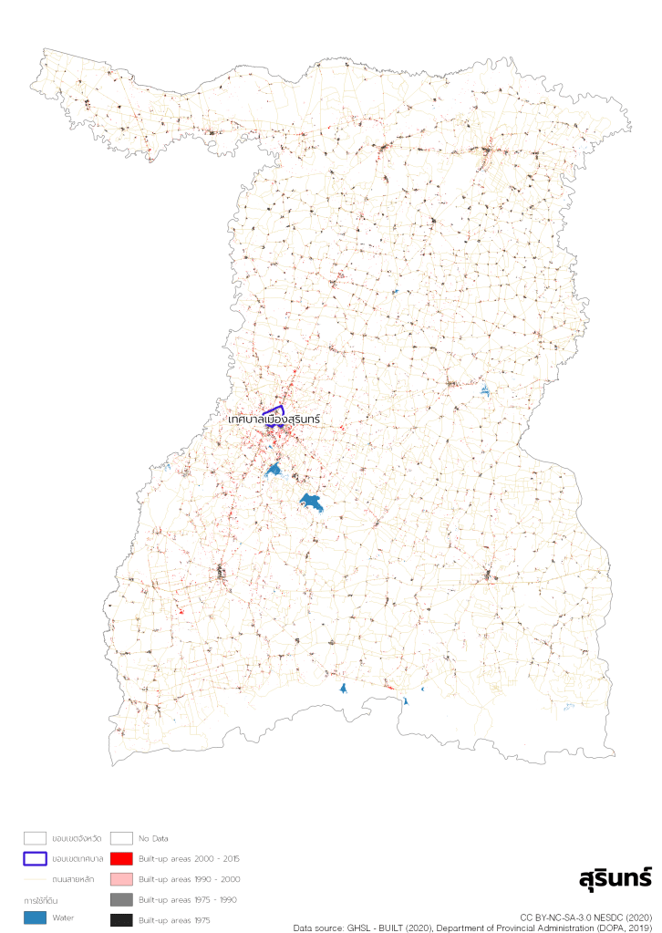
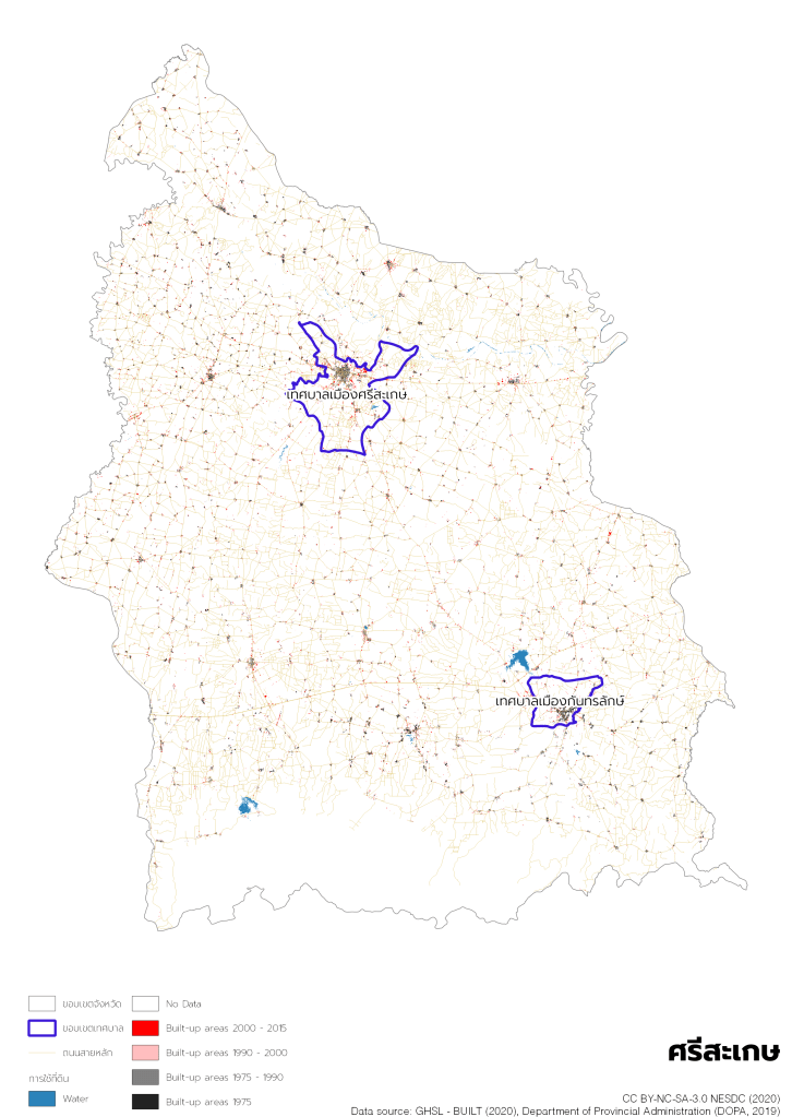
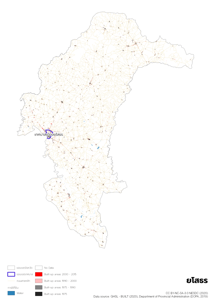
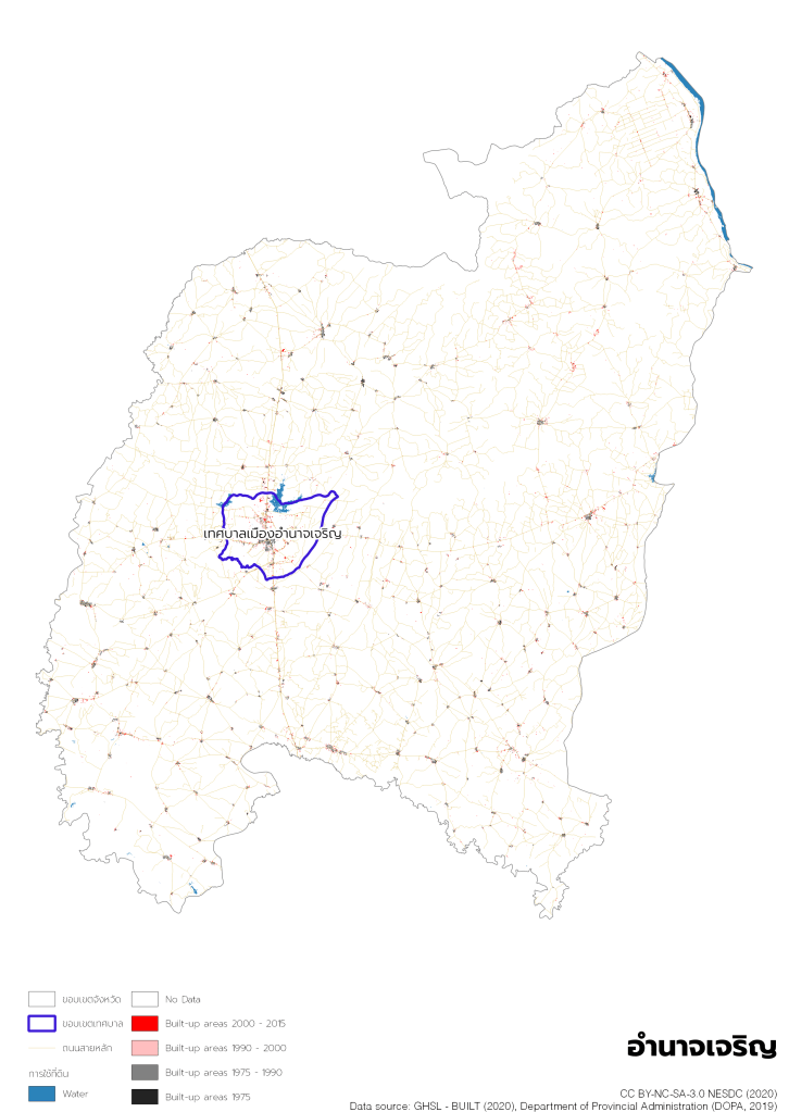
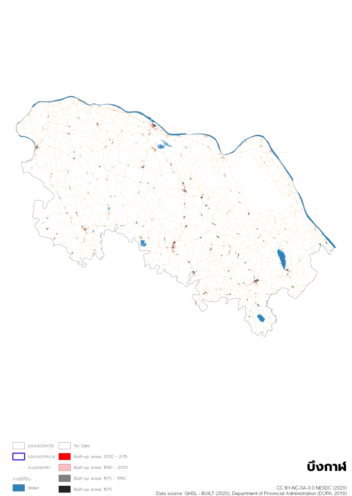
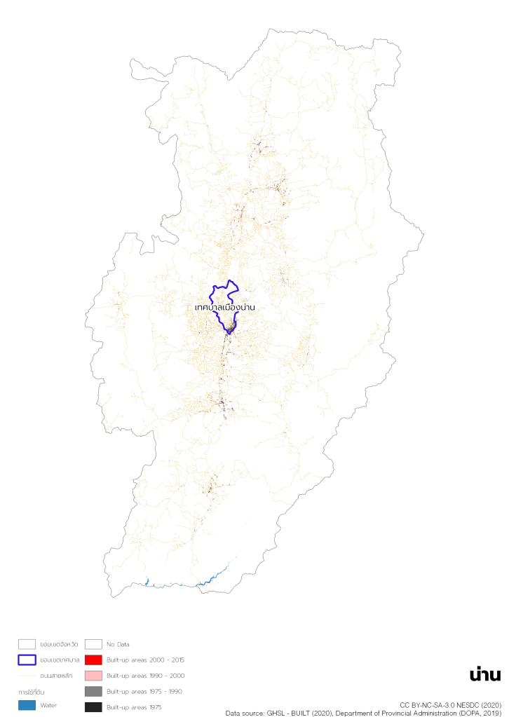
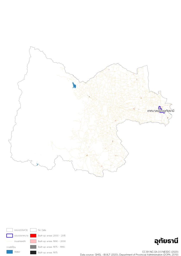
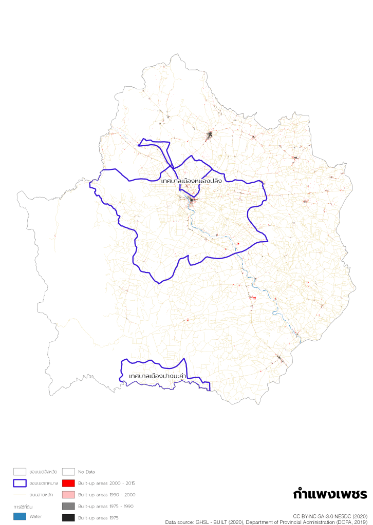
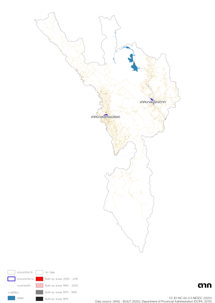
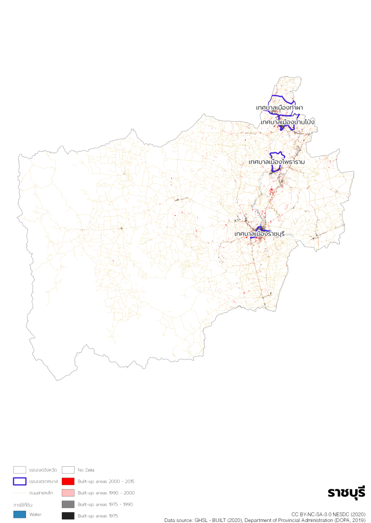
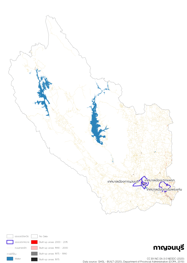
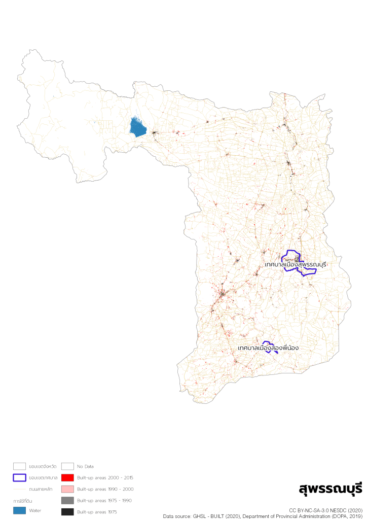
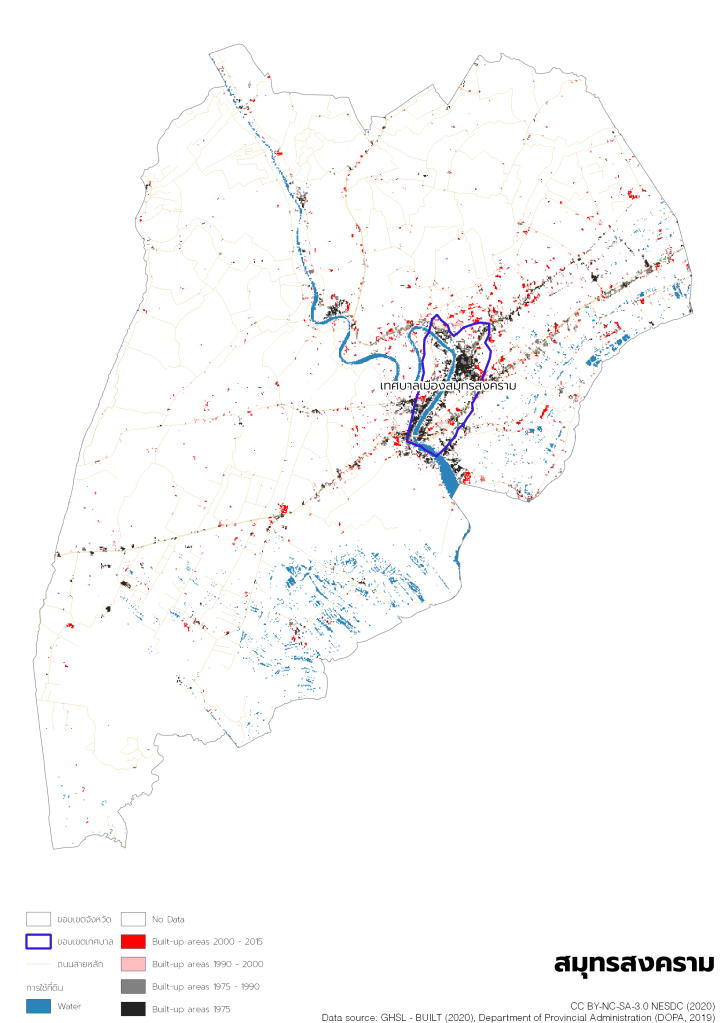
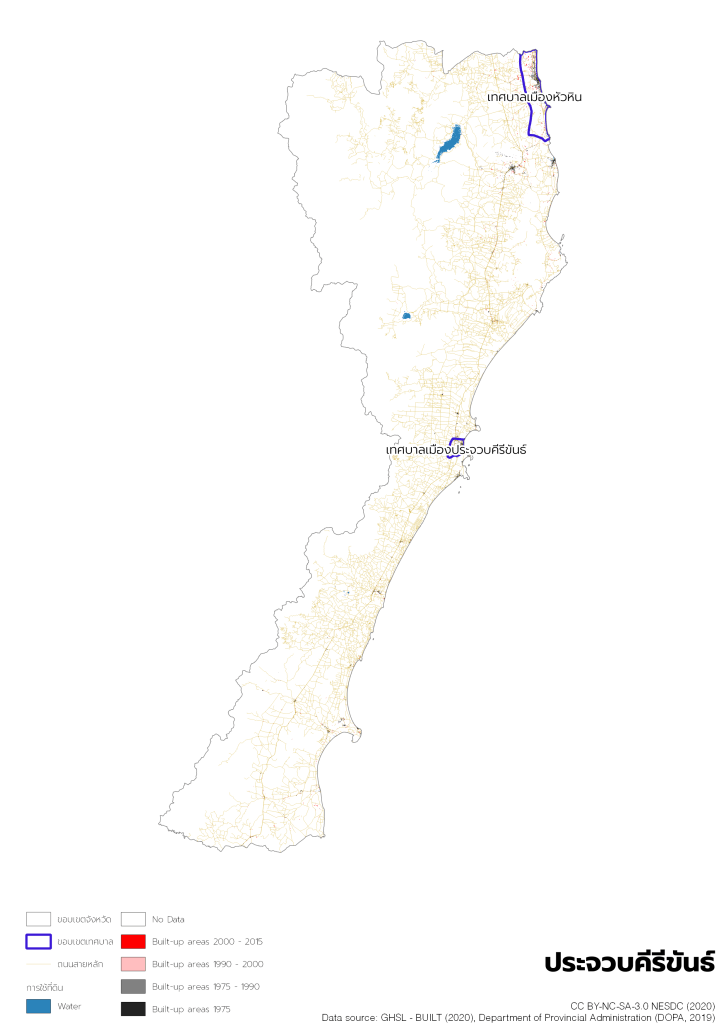
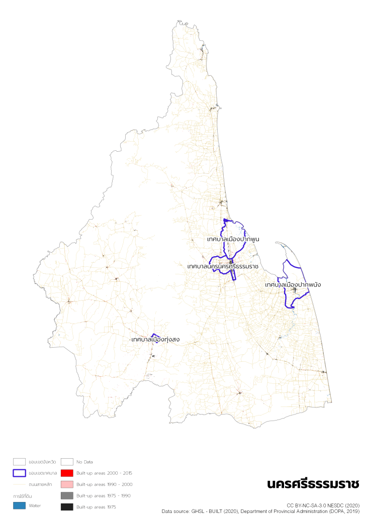
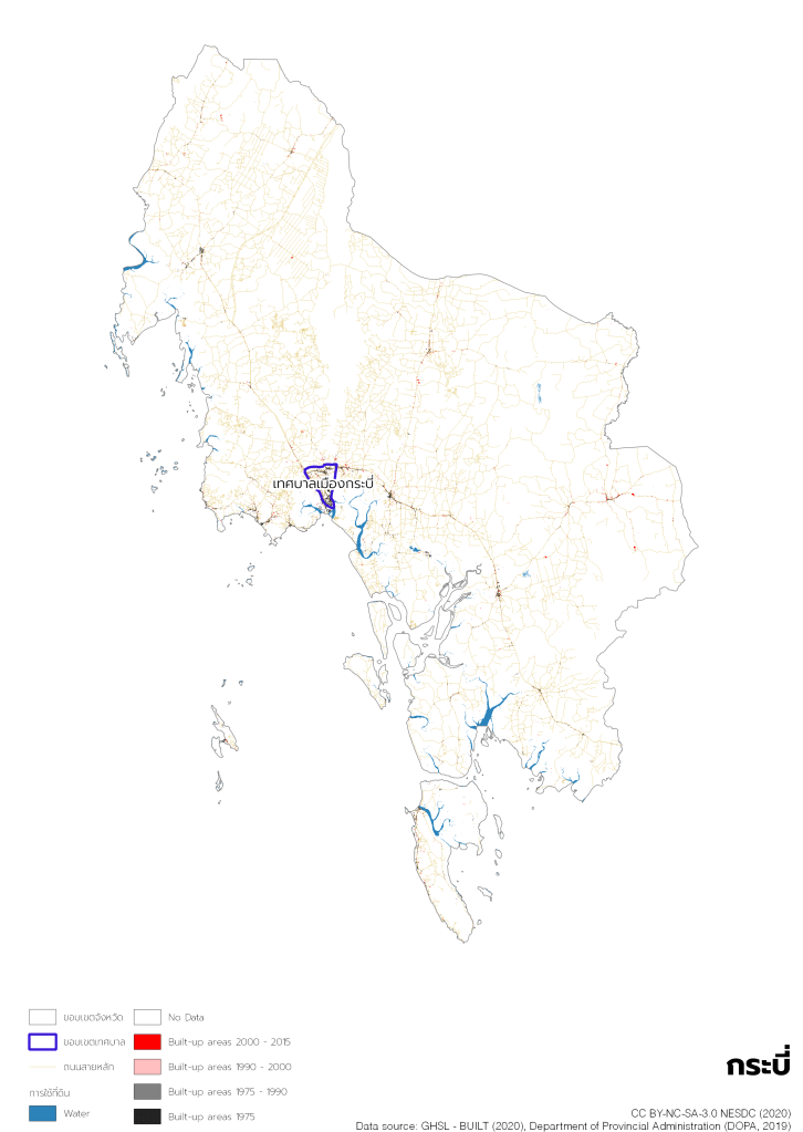
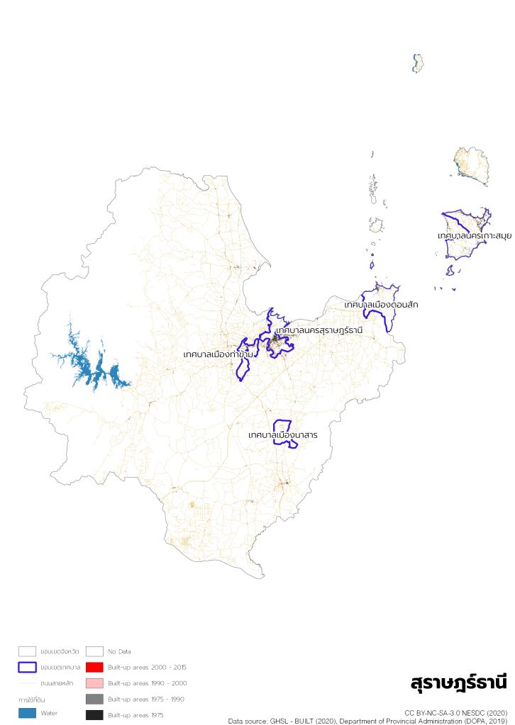
Tessaban (เทศบาล), municipality equivalent, is a form of Thai local administration, established under Tessaban Organization Act of 1934 and most recently amended by the Tessaban Act (No. 12) of 2003. There are 3 levels of Tessaban with a minimum population as the following:
- Tessaban Nakhon (city municipality): population 50,000 and over
- Tessaban Mueang (town municipality): population 10,000 and over
- Tessaban Tambon (sub-district municipality): no minimum population criterion
Tessaban is granted partial autonomy for local management and administration such as formation of local council, tax collections, infrastructure management, and service management. Tessaban Nakhon, as the highest level of Tessaban, is granted the highest level of autonomy when comparing to the other 2.
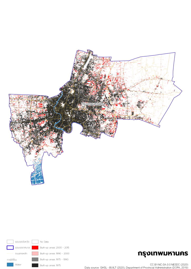
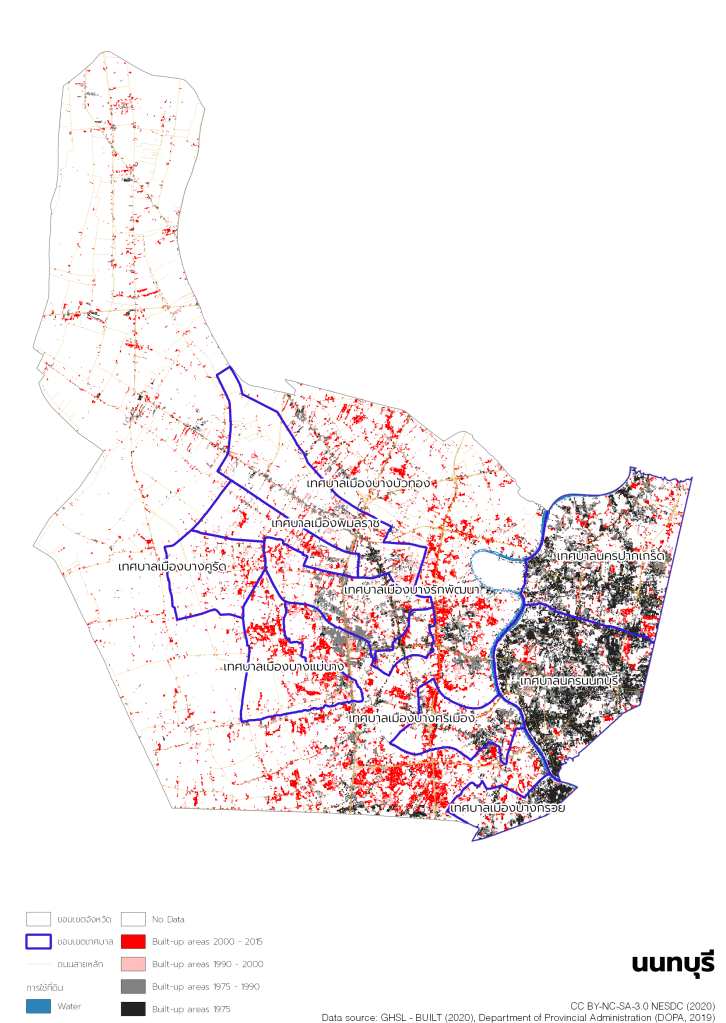
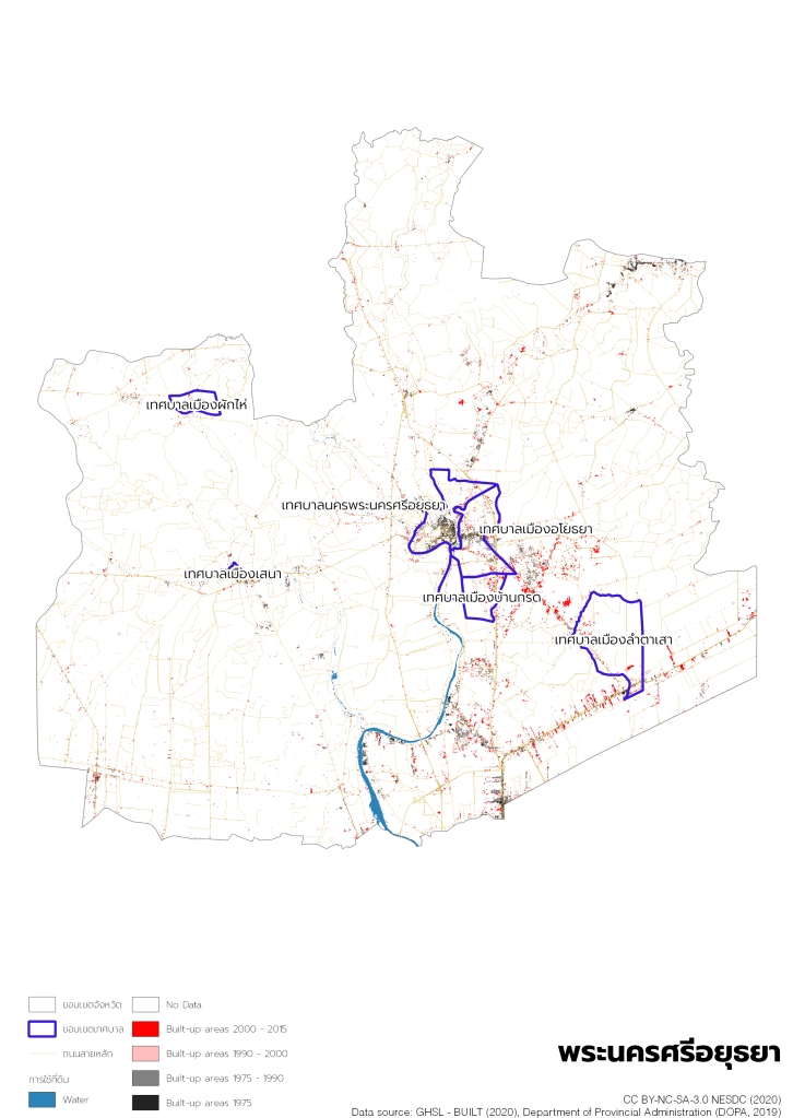
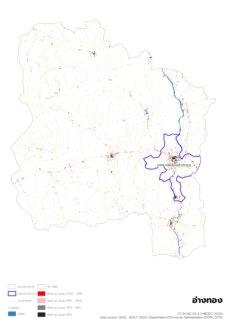
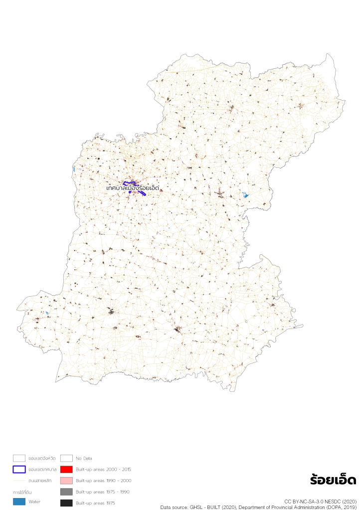
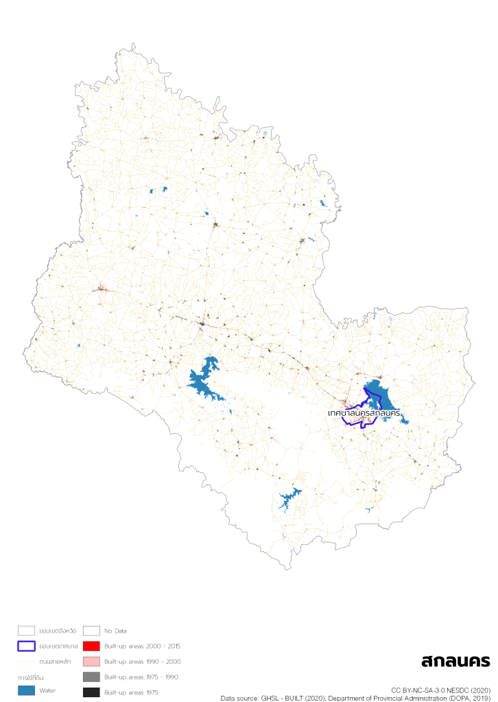
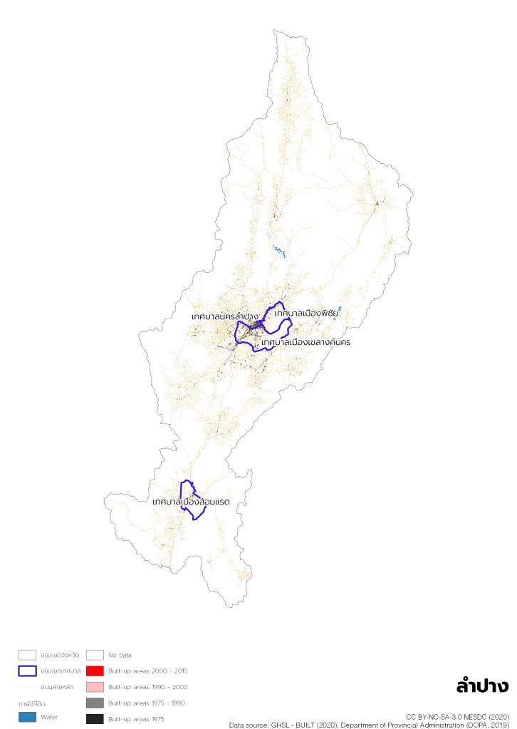
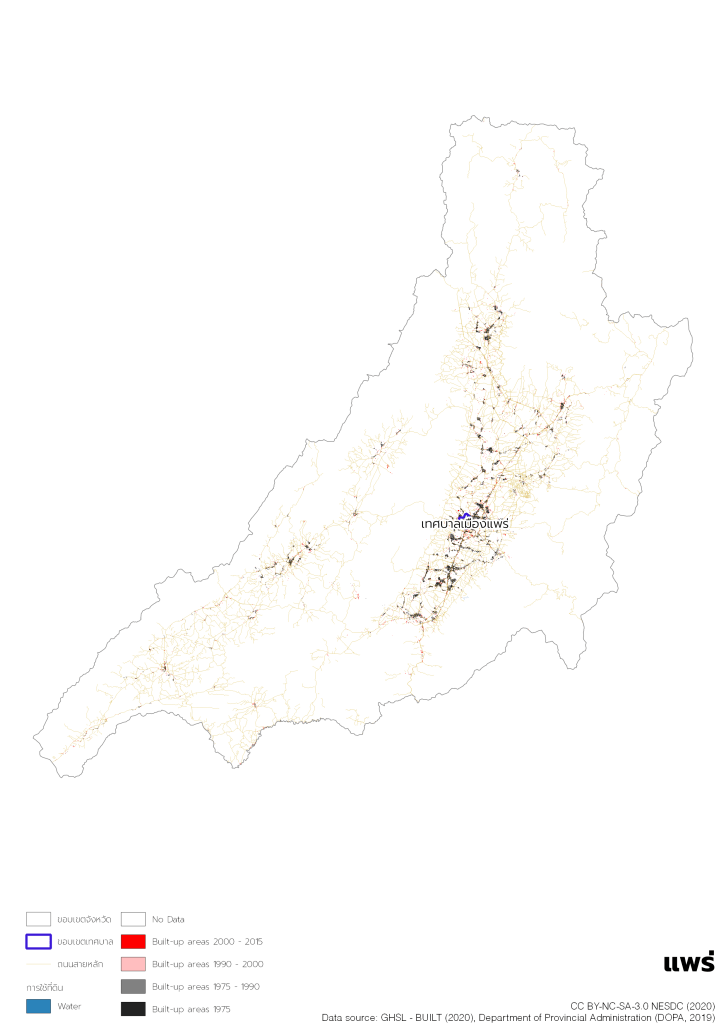
Division of Urban Development Strategic Division (UDSD), which has been formed under Ministerial Regulation of Office of the National Economic and Social Development Council Administration B.E. 2562 (กฎกระทรวงแบ่งส่วนราชการสำนักงานสภาพัฒนาการเศรษฐกิจและสังคมแห่งชาติ สำนักนายกรัฐมนตรี พ.ศ. 2562) on March 28, 2019, is responsible for urban development related strategies and policies including urban data analytics. We have been working on urban definition by international urban definition review and European Commission’s Global Human Settlement Layer (GHSL) since 2019. Tessaban Nakhon and Tessaban Mueang are a good indicator of urban areas as their criterion is minimum population. On the other hand, major of Tessaban Tambon are not urban.
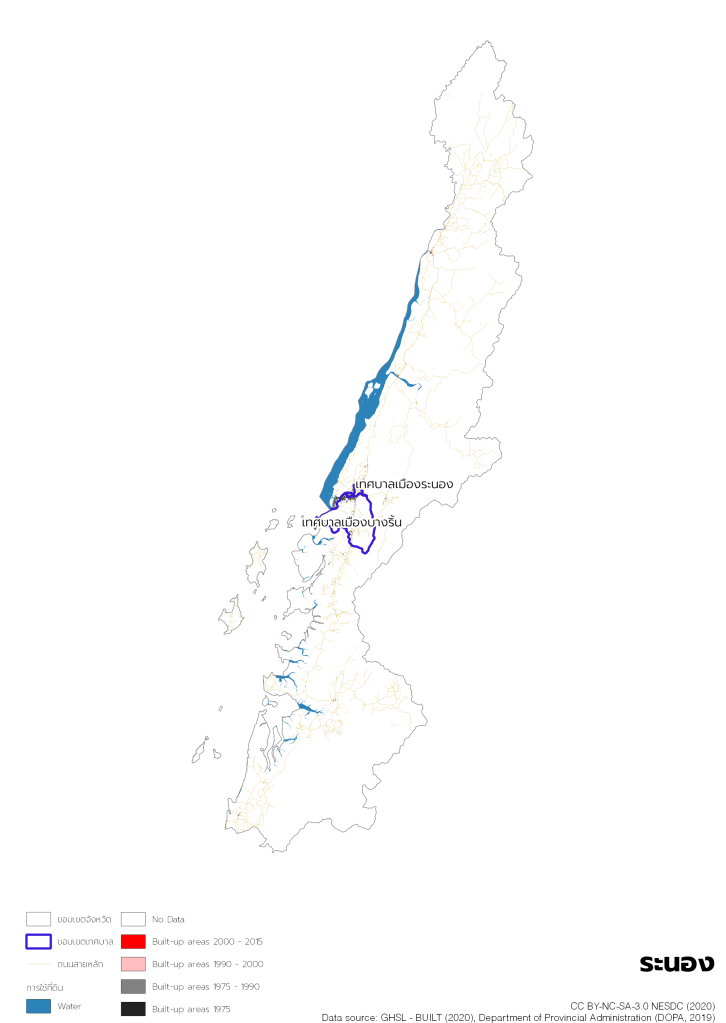
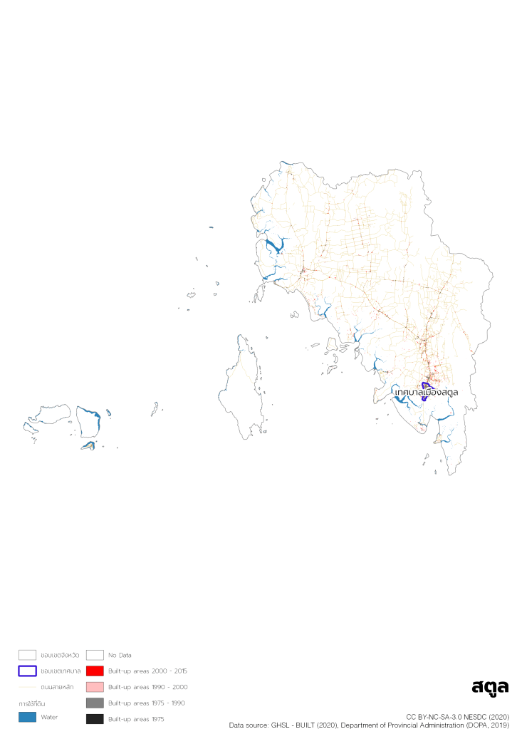
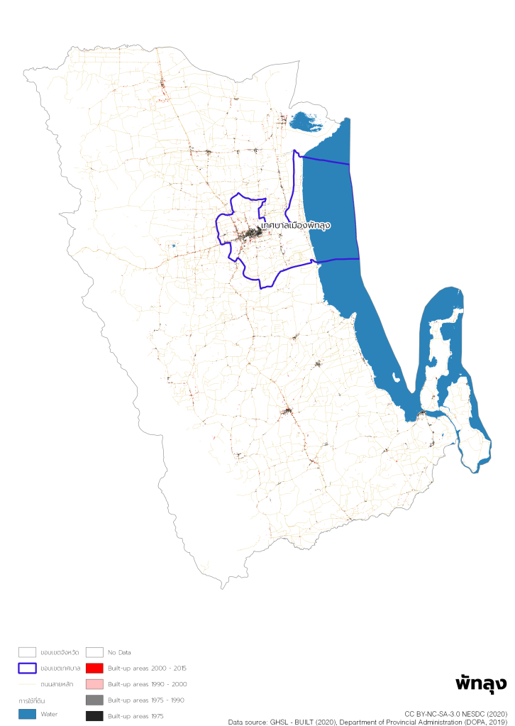
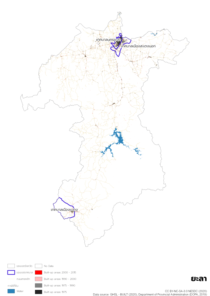
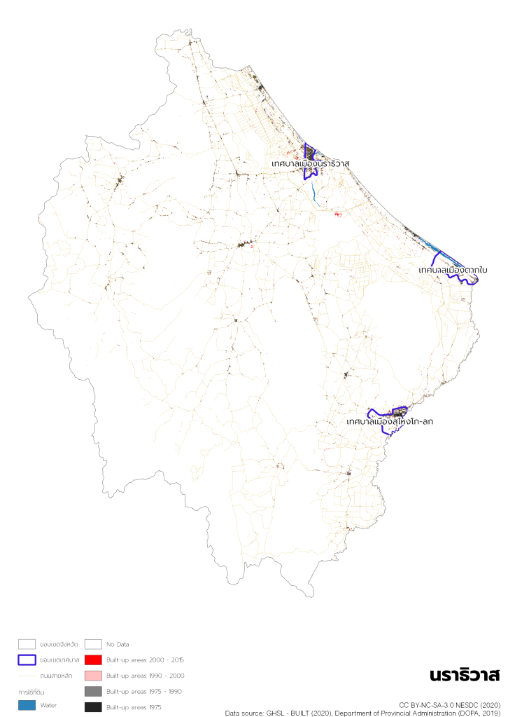
One of the biggest limitations on urban data analytics is lack of administrative boundary shapefiles to match with non-spatial data. Tessaban boundary shapefile is totally absent in any government agency. Thus, we have created it for internal analyses.
Methods
Our data team reviews Tessaban establishment announcements in the Royal Gazettes (ประกาศจัดตั้งเทศบาลในราชกิจจานุเบกษา) and modifies other existing administrative level boundary shapefiles to match the official boundaries. Though, it has to be noted that some of them are not 100% accurate due to the limitations of available shapefiles.
Uses and Implications
Tessaban shapefile can be matched with other non-spatial datasets such as census data from National Statistical Office, the Discriminant Indicators of the Quality of Life Rural People (ข้อมูลความจำเป็นพื้นฐาน – จปฐ.), self-collected data by Tessaban, which are collected . The shapefile can improve quality of urban-specific analyses.


One thought on “Tessaban Project”