


These maps and diagrams are a part of my Master’s thesis:
IMPERVIOUS SURFACE POLICY ADOPTION ACROSS THE US MUNICIPALITIES AND ITS RELATIONSHIP TO CLIMATE CHANGE FACTORS
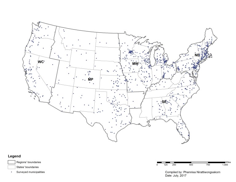
In this study, I look into the selected hydrological hazards from climate change and their influences on impervious surface policy adoption among municipalities in 48 states of the contiguous U.S. The selected hydrological hazards are flood, drought, and sea level rise which I hypothesized that these factors can make local governments more motivated to adopt environmental policies. Analysis methods range from simple statistical analysis such as descriptive statistics to spatial analysis method using ArcGIS.
Abstract
The quality and quantity of water resources is critically important to communities. A key characteristic of urbanization, impervious surfaces, has a significant negative impact on water resources. The negative impacts include increased severity of flooding and erosion in stream banks, leading to nonpoint source pollution and habitat loss, as well as an increased likelihood of harmful flooding in communities during extreme weather events. Despite the effect of impervious surfaces on water resources and communities, our knowledge of the extent to which communities adopt impervious surface policies and the factors that play a role in the adoption of such policies is limited.
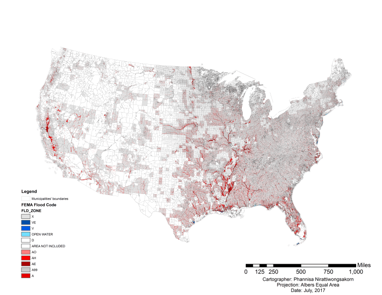
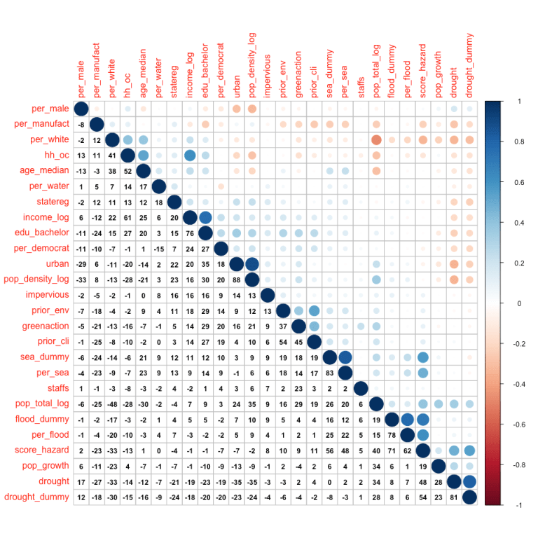
Following other sustainability-related empirical works, I hypothesized that hydrological hazard risk from climate change (flood, drought, and sea level rise) as well as a community’s capacity to plan for the environment are key causes for adopting policies for impervious surfaces. In this paper, I investigate specifically the impervious surface policy of setting limits on private property in the United States. I used GIS-based analyses and quantitative statistical methods to analyze data from the International City/County Management Association’s (ICMA) 2010 Sustainability Survey of 1,088 local governments and datasets from FEMA, NOAA, National Drought Mitigation Center, and the US Census Bureau.
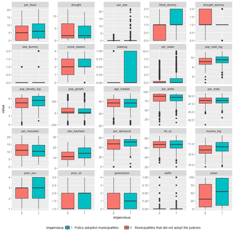
The findings indicate that among all the possible hydrological hazard risks, a municipality’s flood risk, when relatively higher than in other municipalities, is the most obvious risk factor motivating impervious surface policy adoption. The influence of sea level rise risk on policy adoption is less clear, while drought risk is not found to be a significant factor at all. The other significant factors are the percent of water areas, the percent of homeowner-occupied housing units, the community’s priority for environmental issues, the community’s median income, and the number of staff dedicated to environmental planning are all significant factors leading to impervious surface policy adoption.
These findings point to the importance of educating policy-makers and the public about the effects of impervious surfaces as well as the impact of our changing climate and natural hazards on the resilience of our communities. This research will likely influence policy and practice related to imperviousness across the nation.
Working period:
October, 2016 – August, 2017
Analyses:
- T-test
- Logistic regression
- Spatial overlay
- Zonal statistics
Softwares used:
- ArcGIS
- R Studio
- Adobe Illustrator

